About this activity
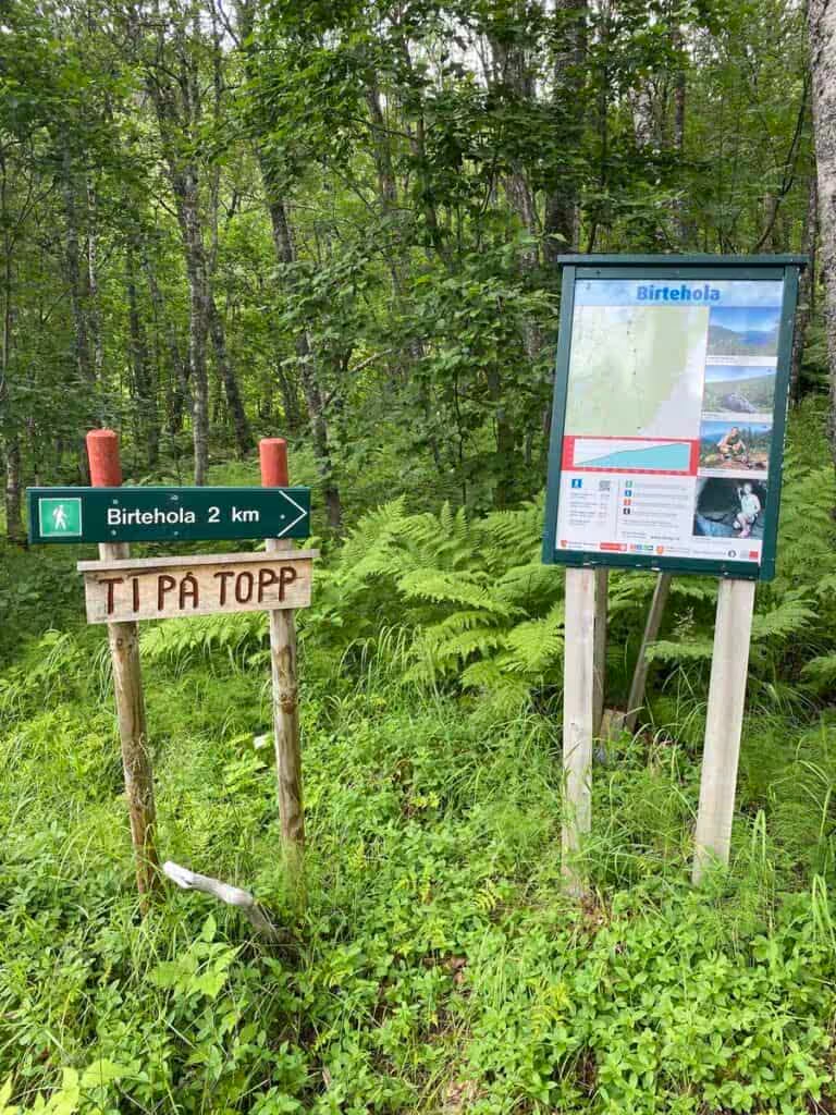
Enjoy a peaceful local hike straight from Malangen. Walk through coastal pine forest, open marshland and quiet mountain terrain to Kjerkevikvatnet — or continue all the way to Vakkerheia for wide views over Malangen. The trail starts close to Staff Camping / Malangen Arctic Experience at Aursfjordveien, making this one of the easiest hikes to enjoy without a long drive. From the starting point near Kjerkevika, the path follows a red-marked route through low coastal terrain, forest and open marsh areas before reaching Kjerkevikvatnet, a small lake at around 101 metres above sea level.
For a shorter walk, Kjerkevikvatnet is a good destination on its own. Guests who want a longer hike can continue on the marked trail up to Vakkerheia, where the landscape opens up and you get beautiful views over the inner part of Malangen, Aursfjorden and towards northern Senja.
The full hike to Vakkerheia and back is approximately 6.6 km return, takes around 3 hours, and has about 260 metres of total elevation gain. The route is classified as a moderately demanding hike, mainly because of uneven terrain, marsh sections and the climb towards the top. The normal season is May to October.
Suggested route:
MAE / Staff Camping → trailhead near Kjerkevika → Kjerkevikvatnet → Vakkerheia → return the same way
Approximate distance:
To Kjerkevikvatnet: short local walk from the trailhead, suitable as an easier outing
Full hike to Vakkerheia: 6.6 km return
Duration: around 3 hours
Elevation gain: approx. 260 m
Practical note: Wear good shoes, as parts of the route may be wet or uneven. Bring a light jacket, water and a snack. This is a great nearby hike for guests who want nature, silence and views without spending the whole day in the car.
For a shorter walk, Kjerkevikvatnet is a good destination on its own. Guests who want a longer hike can continue on the marked trail up to Vakkerheia, where the landscape opens up and you get beautiful views over the inner part of Malangen, Aursfjorden and towards northern Senja.
The full hike to Vakkerheia and back is approximately 6.6 km return, takes around 3 hours, and has about 260 metres of total elevation gain. The route is classified as a moderately demanding hike, mainly because of uneven terrain, marsh sections and the climb towards the top. The normal season is May to October.
Suggested route:
MAE / Staff Camping → trailhead near Kjerkevika → Kjerkevikvatnet → Vakkerheia → return the same way
Approximate distance:
To Kjerkevikvatnet: short local walk from the trailhead, suitable as an easier outing
Full hike to Vakkerheia: 6.6 km return
Duration: around 3 hours
Elevation gain: approx. 260 m
Practical note: Wear good shoes, as parts of the route may be wet or uneven. Bring a light jacket, water and a snack. This is a great nearby hike for guests who want nature, silence and views without spending the whole day in the car.
Practical information
TypeFishing / Nature
LocationKjerkevikvatnet
SeasonSummer
Duration2-4 hours
BookingCheck local fishing rules